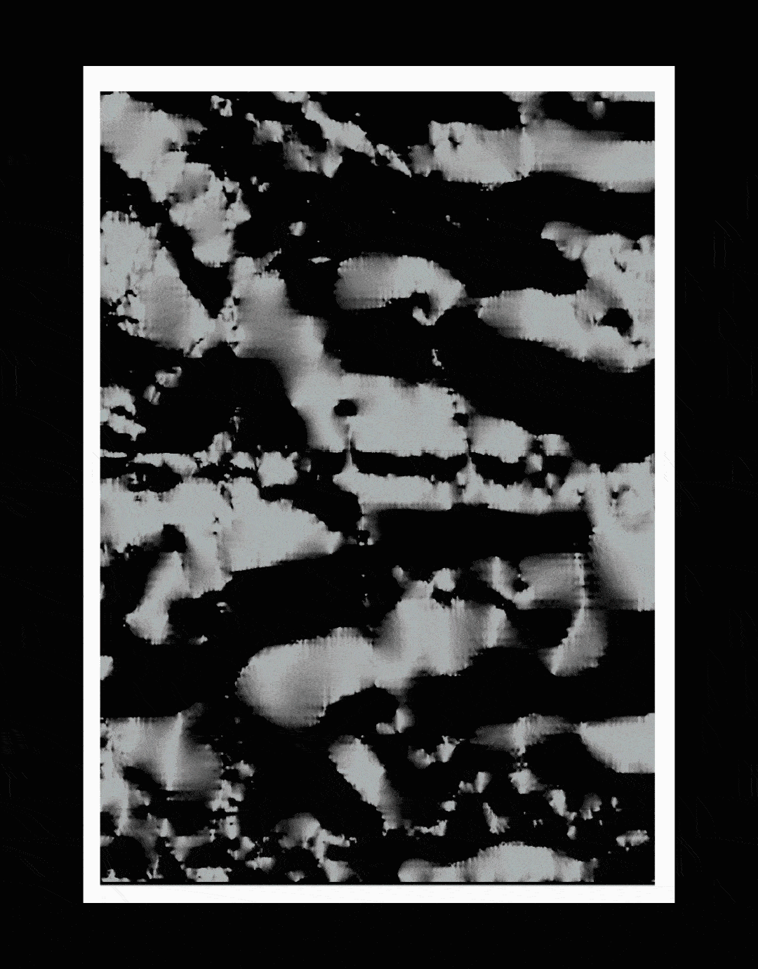
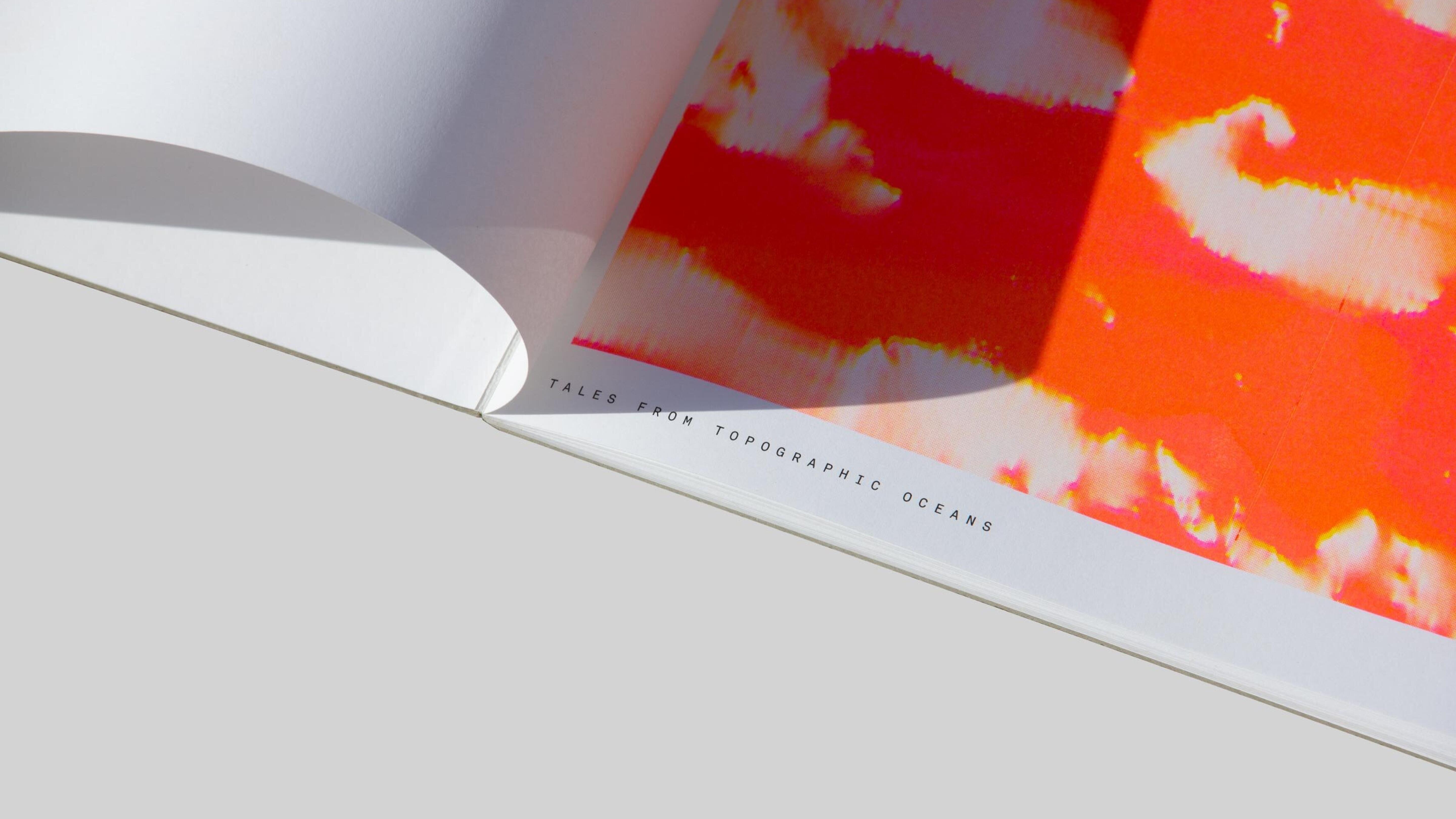
This project is a visual tribute to the uncharted depths of the Celtic Sea. Using geospatial bathymetry data and Risograph printing, 19 unique posters were created, each altering the azimuth angle to reveal a different perspective of the ocean floor. Printed on archival paper, the posters include precise coordinates, grounding each artwork in its real-world location. Created in collaboration with El Malher and Jonathan Collin.
This project is a visual tribute to the uncharted depths of the Celtic Sea. Using geospatial bathymetry data and Risograph printing, 19 unique posters were created, each altering the azimuth angle to reveal a different perspective of the ocean floor. Printed on archival paper, the posters include precise coordinates, grounding each artwork in its real-world location. Created in collaboration with El Malher and Jonathan Collin.
This project is a visual tribute to the uncharted depths of the Celtic Sea. Using geospatial bathymetry data and Risograph printing, 19 unique posters were created, each altering the azimuth angle to reveal a different perspective of the ocean floor. Printed on archival paper, the posters include precise coordinates, grounding each artwork in its real-world location. Created in collaboration with El Malher and Jonathan Collin.